OUTSTANDING COURSE
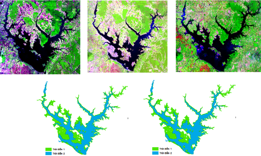
Remote Sensing Course
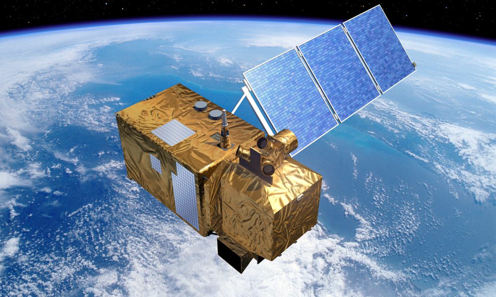
Working with satellite images, extracting and calculating parameters from satellite images.
GEE Course

Programmatically process satellite images directly on the Google Earth Engine platform.
GIS Course
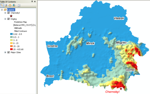
Làm việc với các đối tượng vector, raster,…để phân tích, xây dựng bản đồ chuyên đề.
CLOUDGIS SOLUTIONS
OPENGIS SERVICES
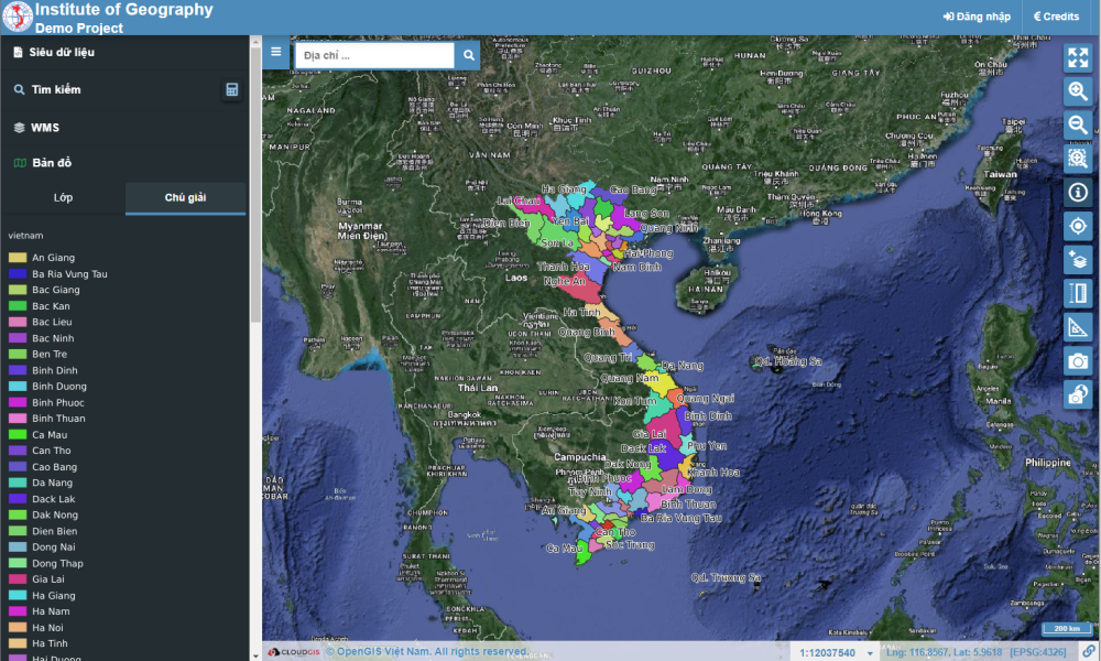
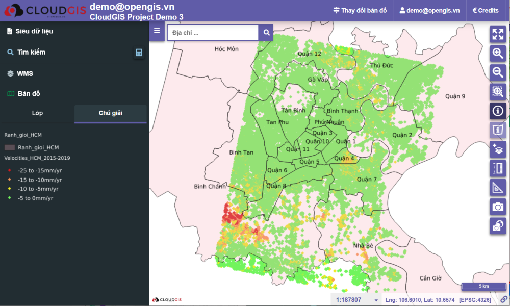
WebGIS Builder
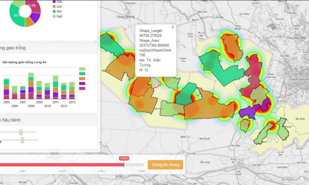
We provide xây dựng WebGIS on topics of Agriculture, Fisheries, Irrigation, Flooding,...
Hosting rental service

We provide Hosting rental services about Mapping. There are also other types of Hosting services,...
Map server rental service
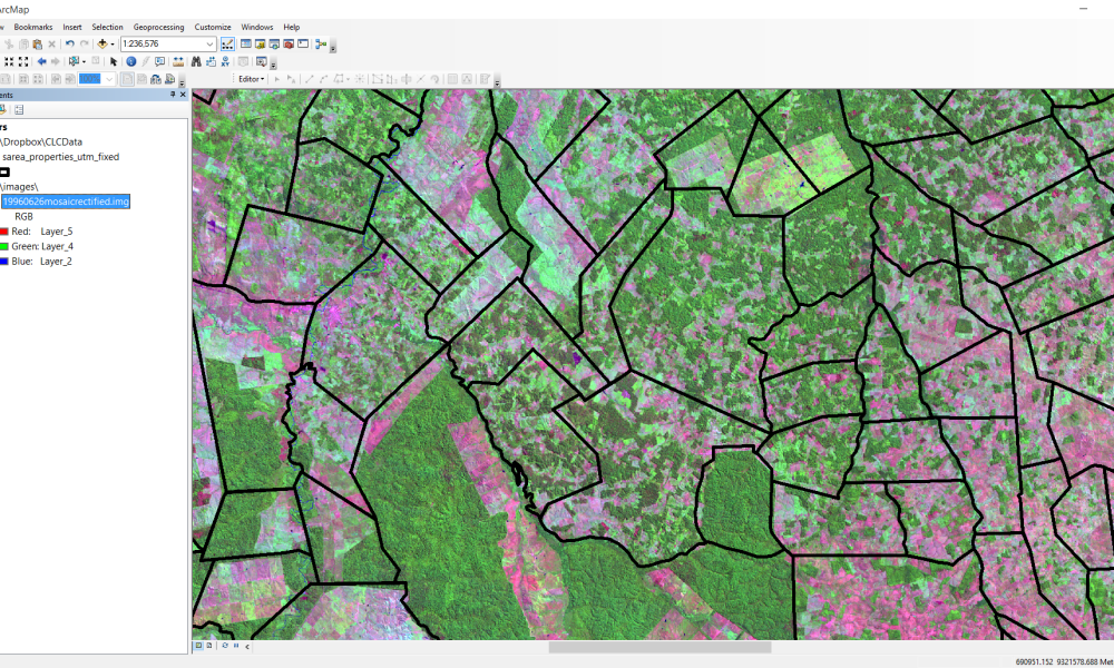
We provide Map server rental services. Map & GIS Data Normalization.
OUR PROJECT
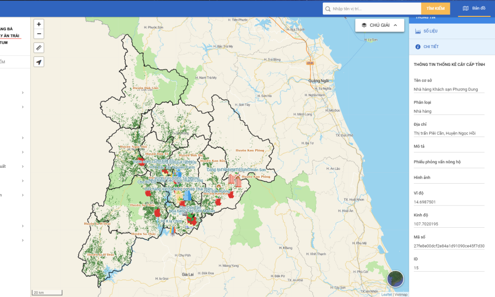
WebGIS Kon Tum Agriculture

WebGIS Long An Agriculture
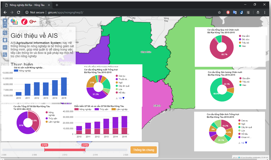
WebGIS BRVT Agriculture
ABOUT US
Open GIS Vietnam
⇒ We provide hosting, map server services , especially training courses
from basic to advanced in Remote Sensing, GIS, WebGIS, Google Earth Engine (GEE),...
⇒ We are proud of the work we do and of everything we make because it is all done with dedication, precision and love.
CUSTOMER
